
‘No one would have planned to build an enormous city on the basis of such an unusual configuration of lagoon and island’ – notes K. Whiteman in his essay Topography of Lagos (2013).
Today, 8 of July, is a representative day demonstrating how the combination of the climate, natural and man-made topography and its level of infrastructure make Lagos an unusable city at a certain point of every year. Today, parts of Ikoyi, Victoria Island and Lekki are flooded to an extend where public services and transport are no longer coping.
Below: Falomo Roundabout Environs
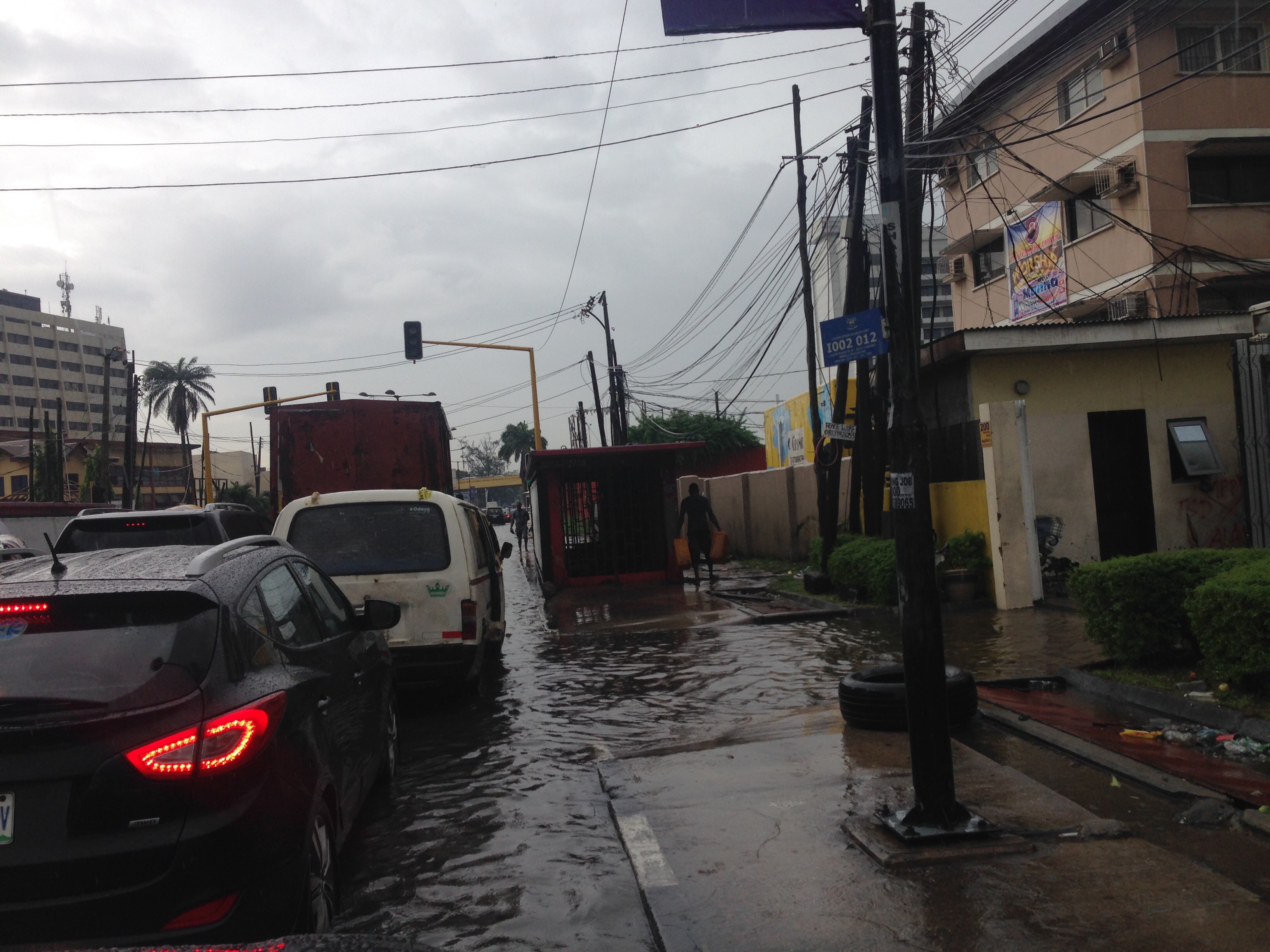
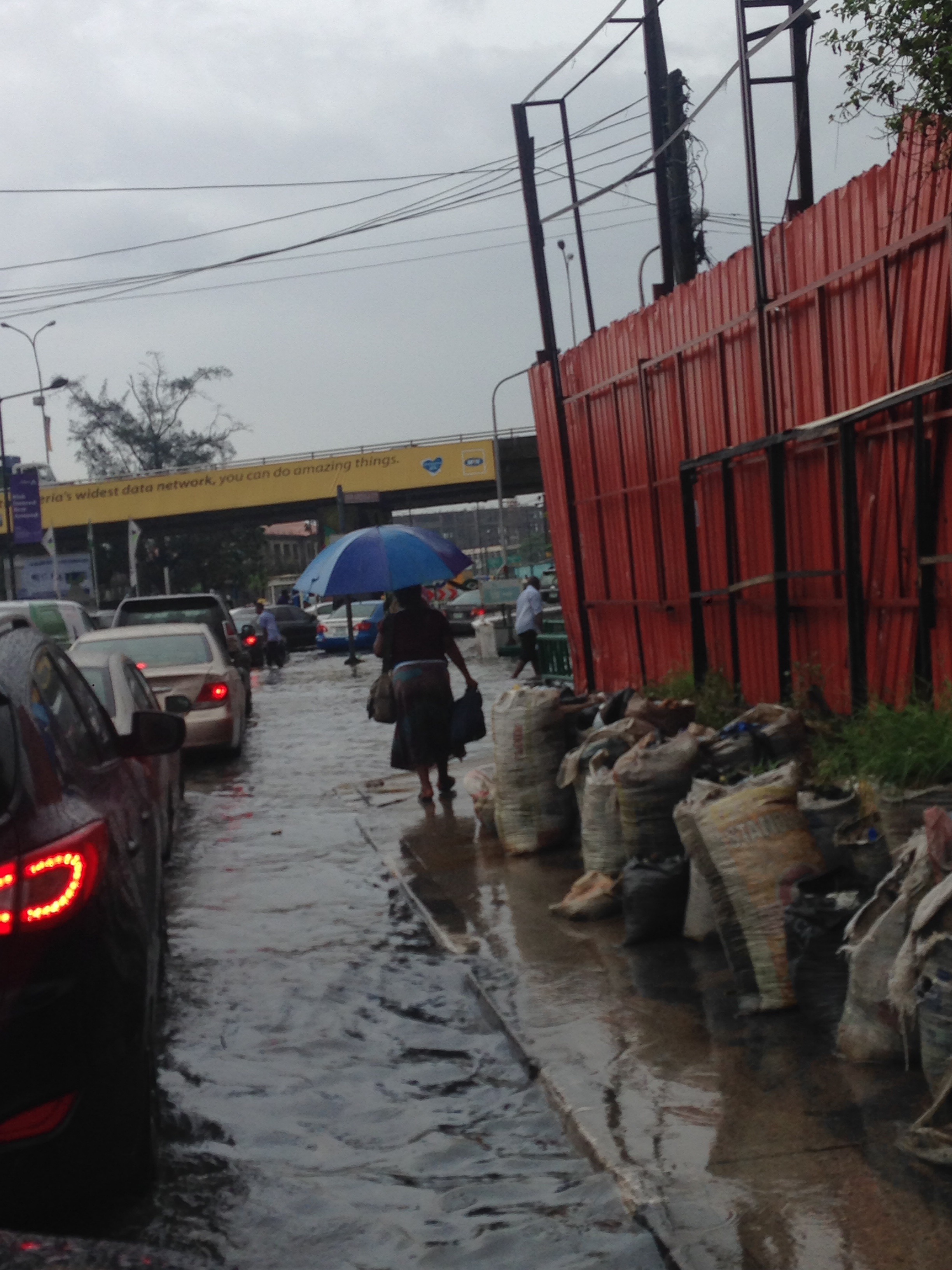
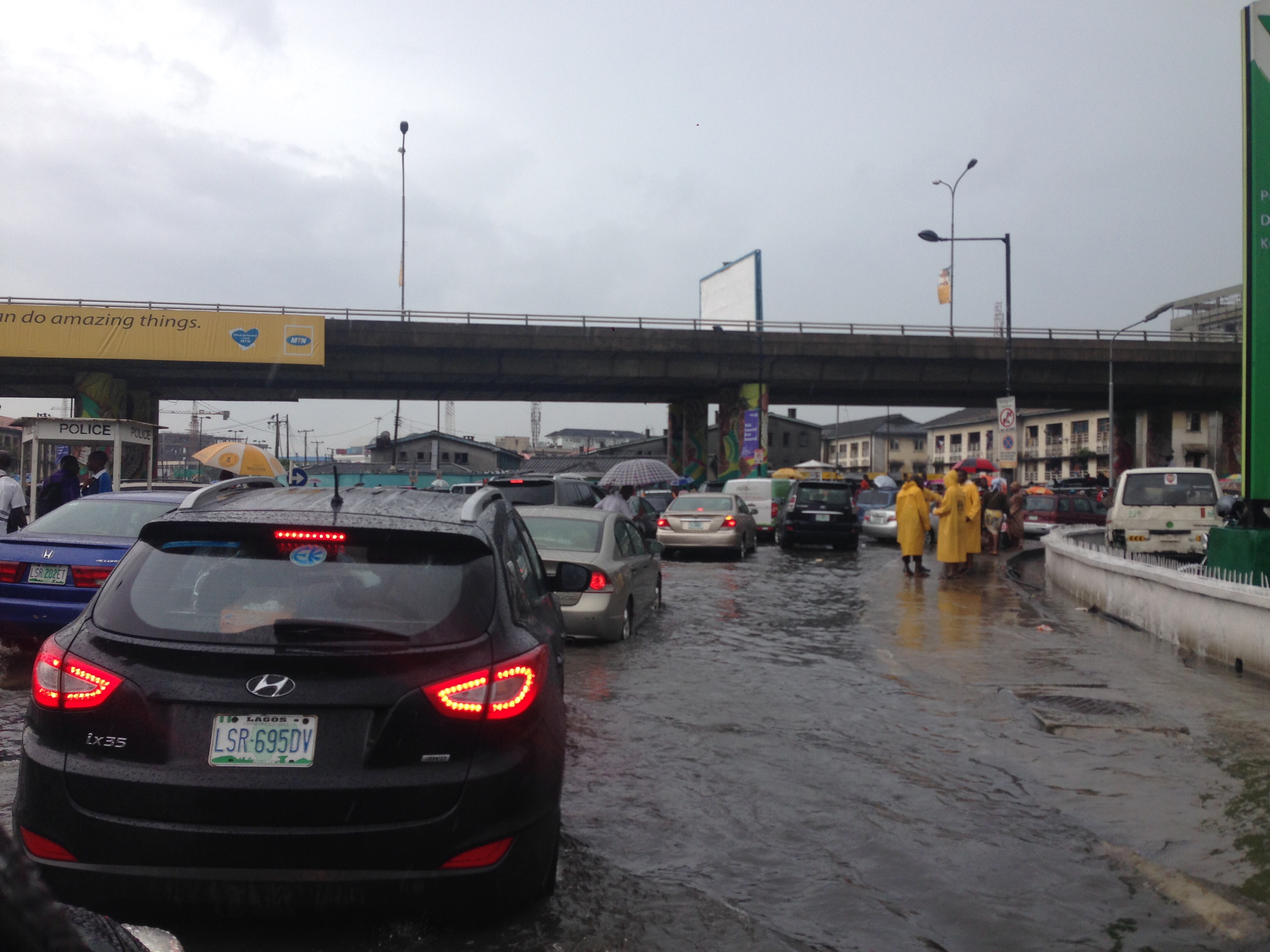
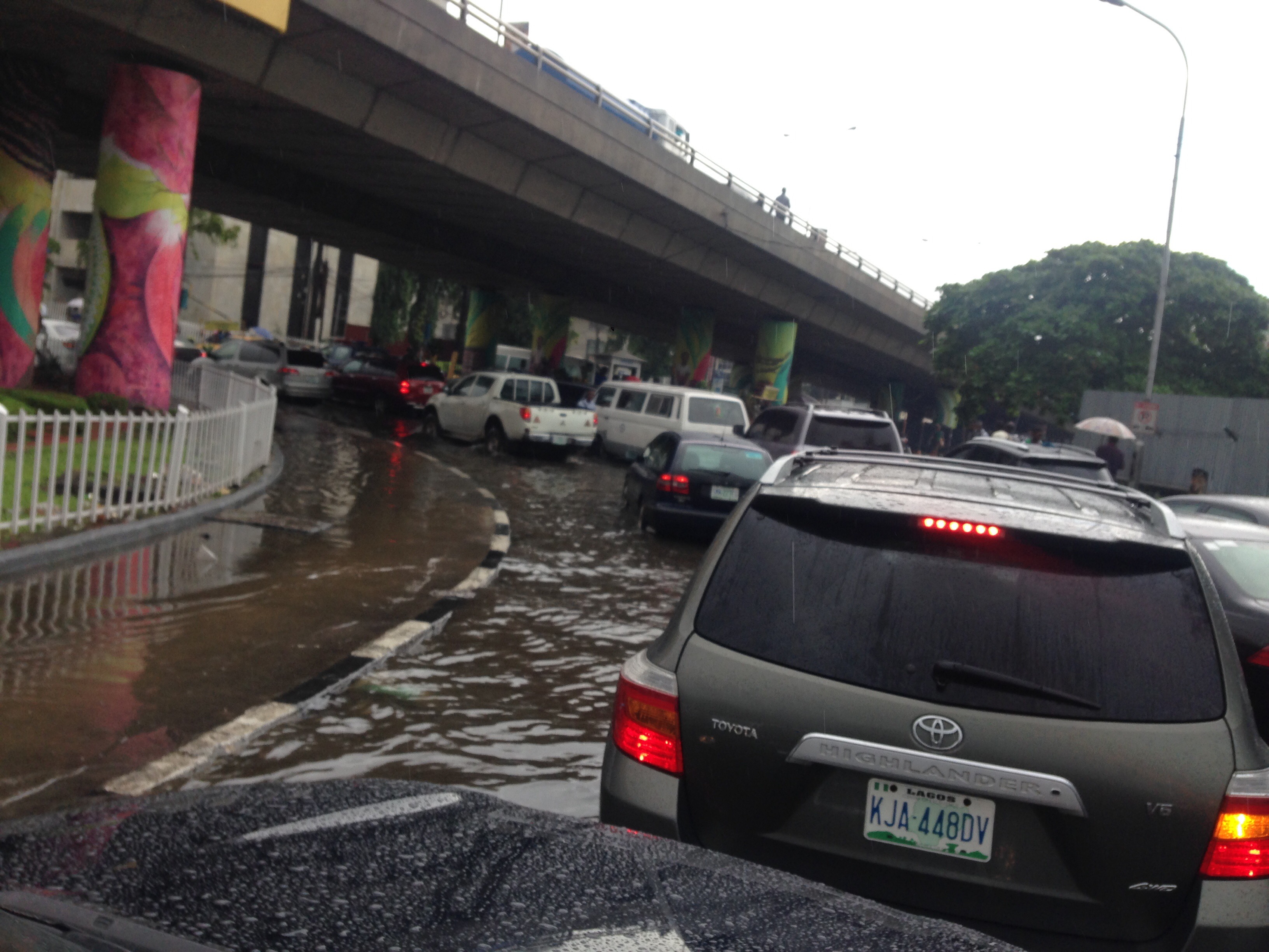
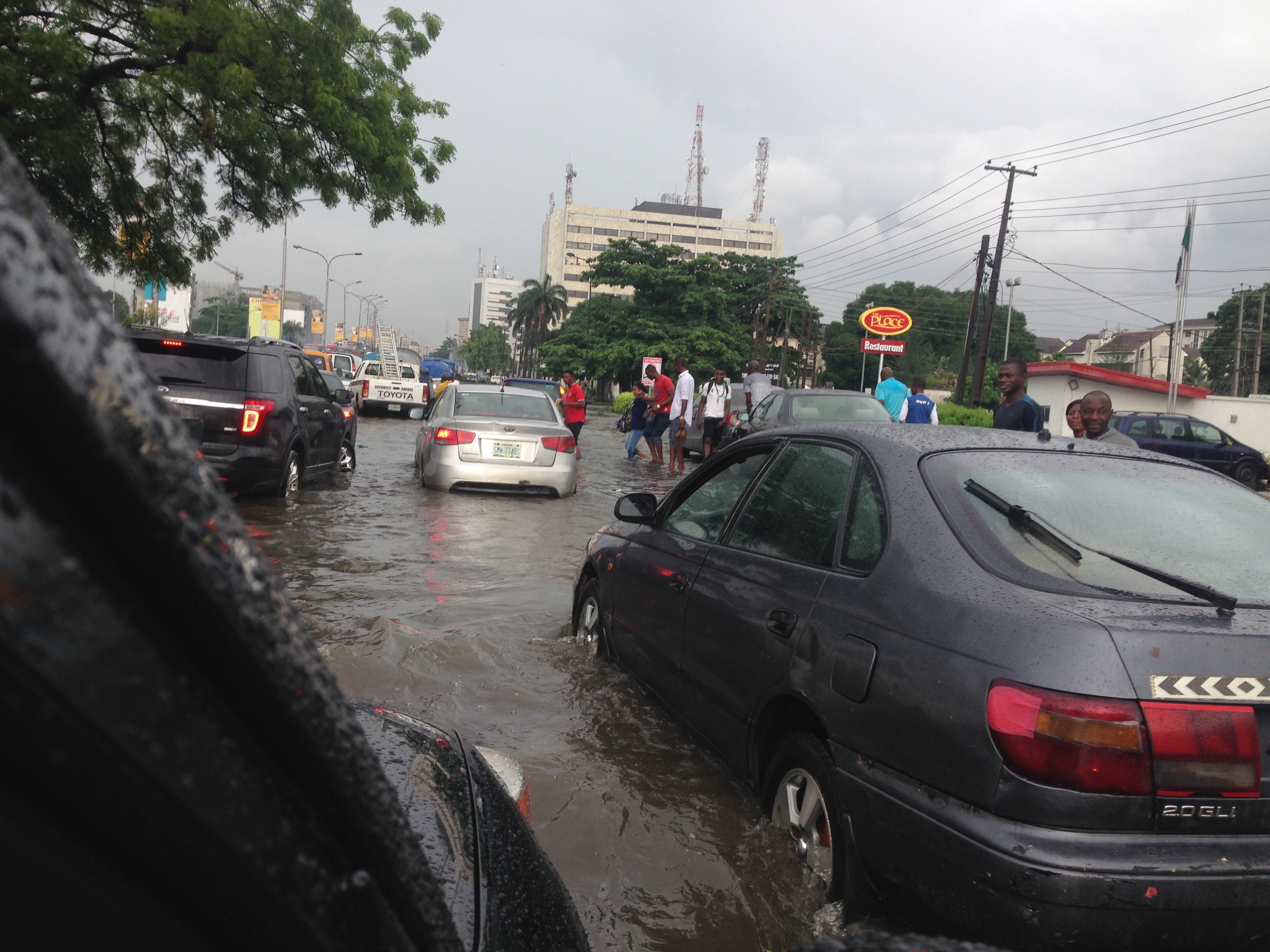
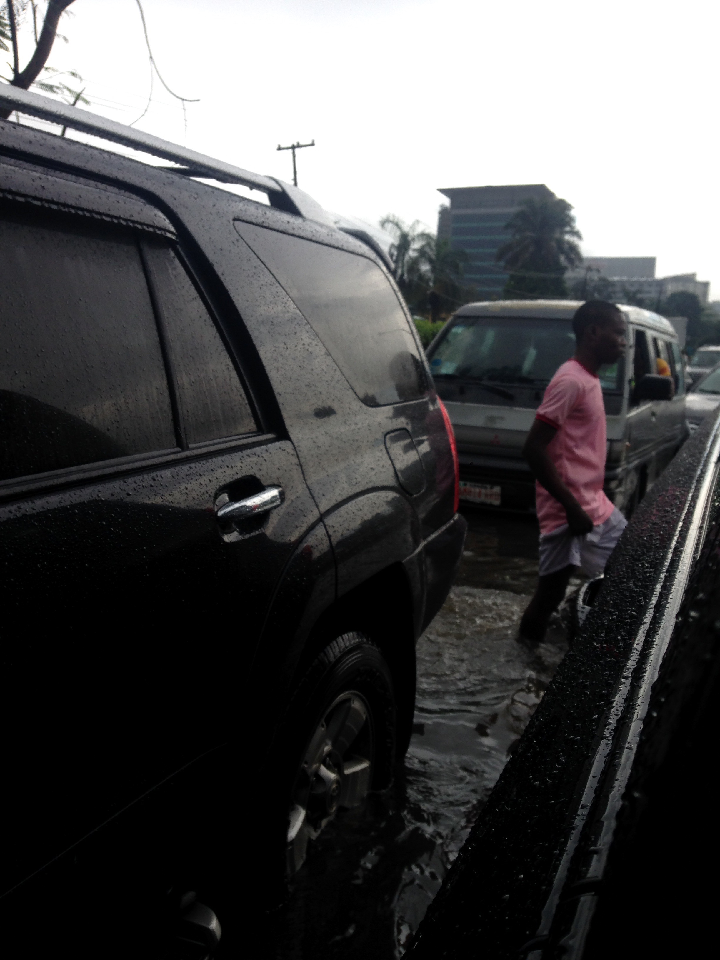
On the wider roads, mainly the lanes close to the centre of the road are used, especially by non-SUVs and mini-buses, many of them already broken down and blocking parts of the road, some making loud banging noises where water got into the engine.
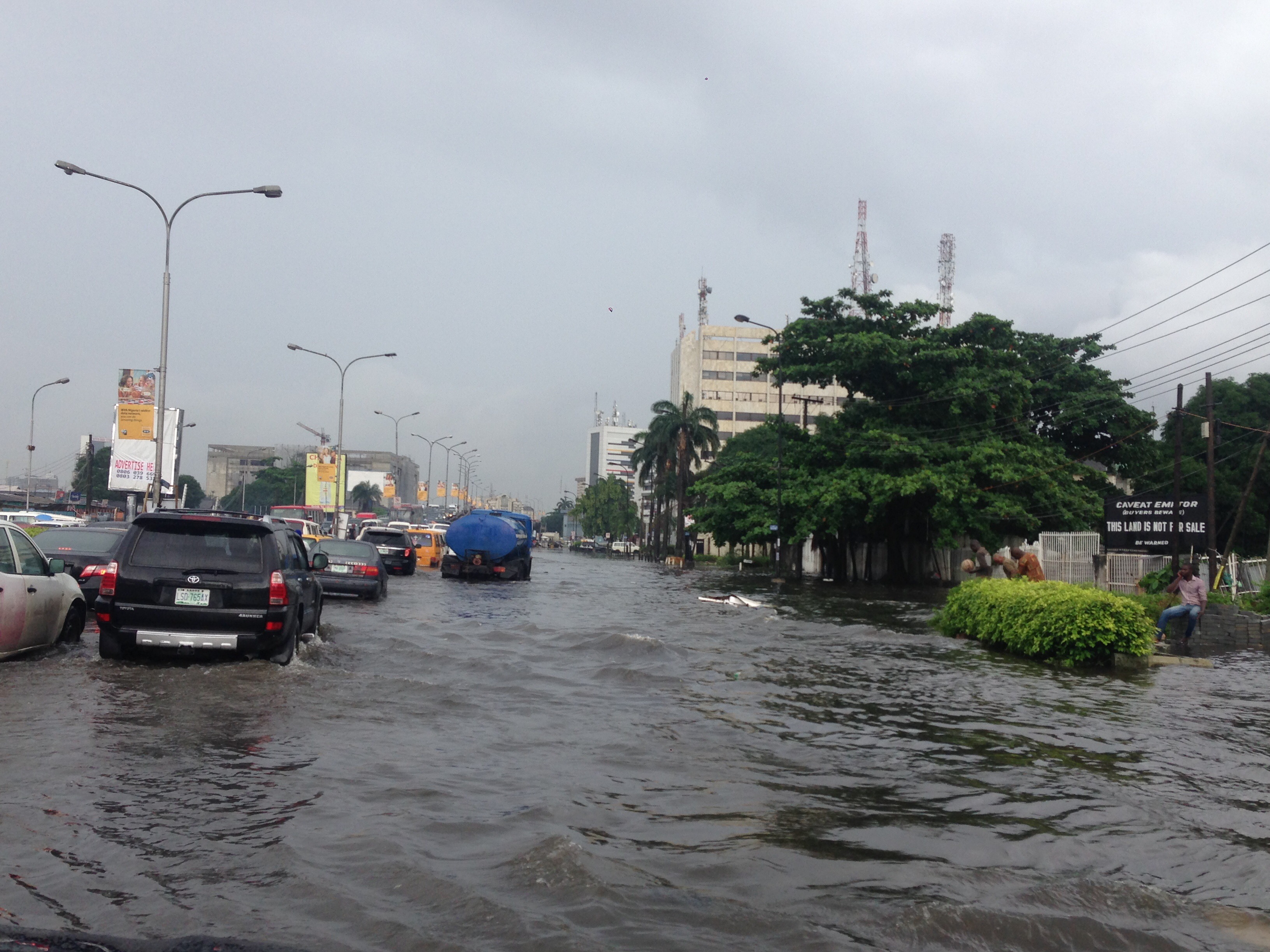
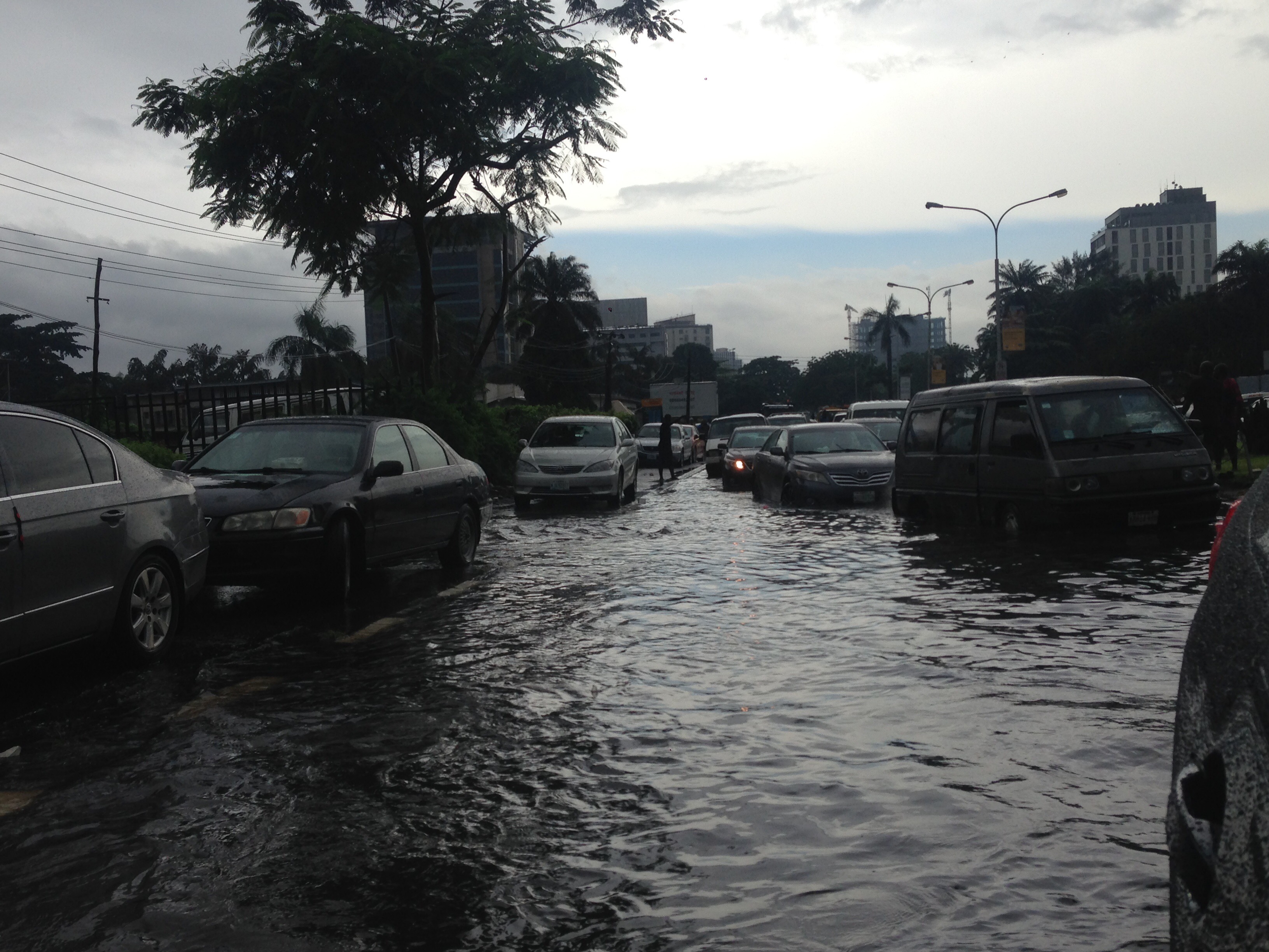
Pedestrians are carefully choosing their way around cars and alongside roads, due to the invisibility of trenches, deep pot holes holes and other ground irregularities that may cause an injury or getting submerged.
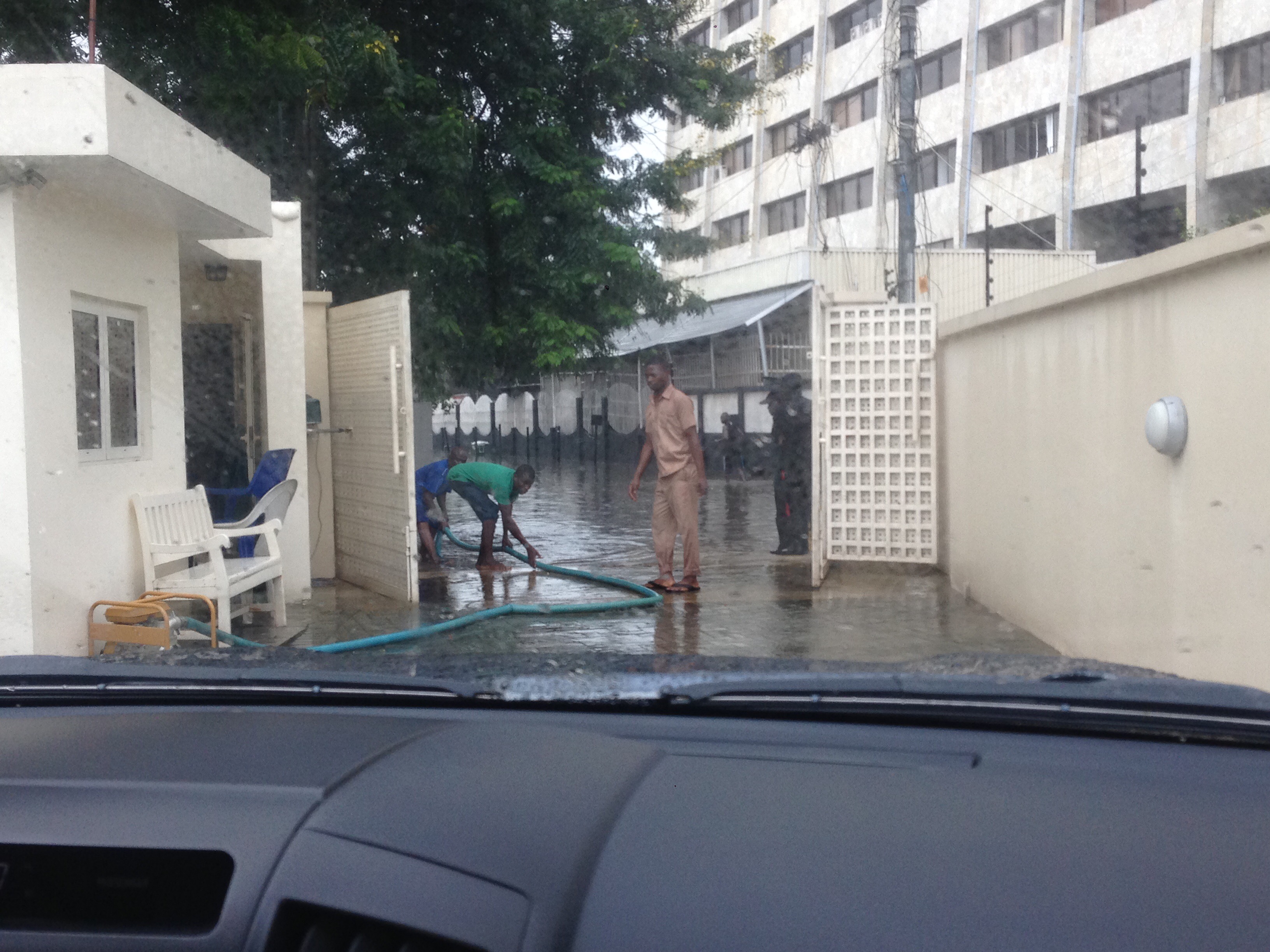
Low-lying-areas-based families and institutions who have the resources to drain their compounds tend to use pumps that need continuous fuel supply. A trip to a fuel station, normally 10 mins long, took over an hour.
Below: google map traffic situation reflecting the of flooded zones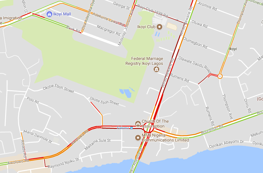
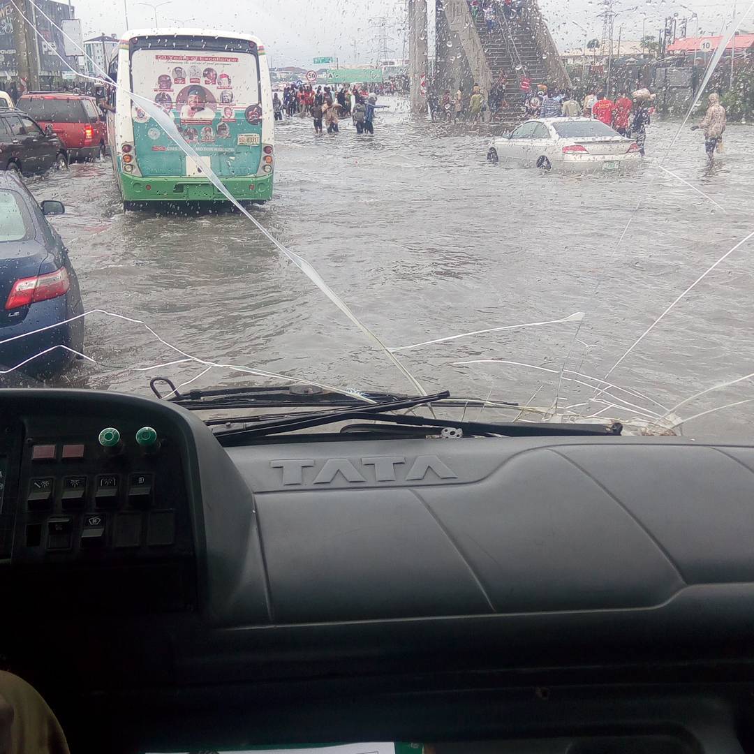
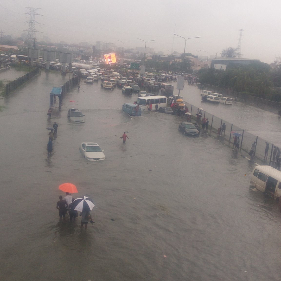
Other parts of Lagos Island and Lekki are experiencing similar or worse issues; below are some posts found on the Internet. These were taken in Lekki Phase 1, Victoria Garden City (both Lekki) and Oniru (Victoria Island),

Images and Videos found via:
