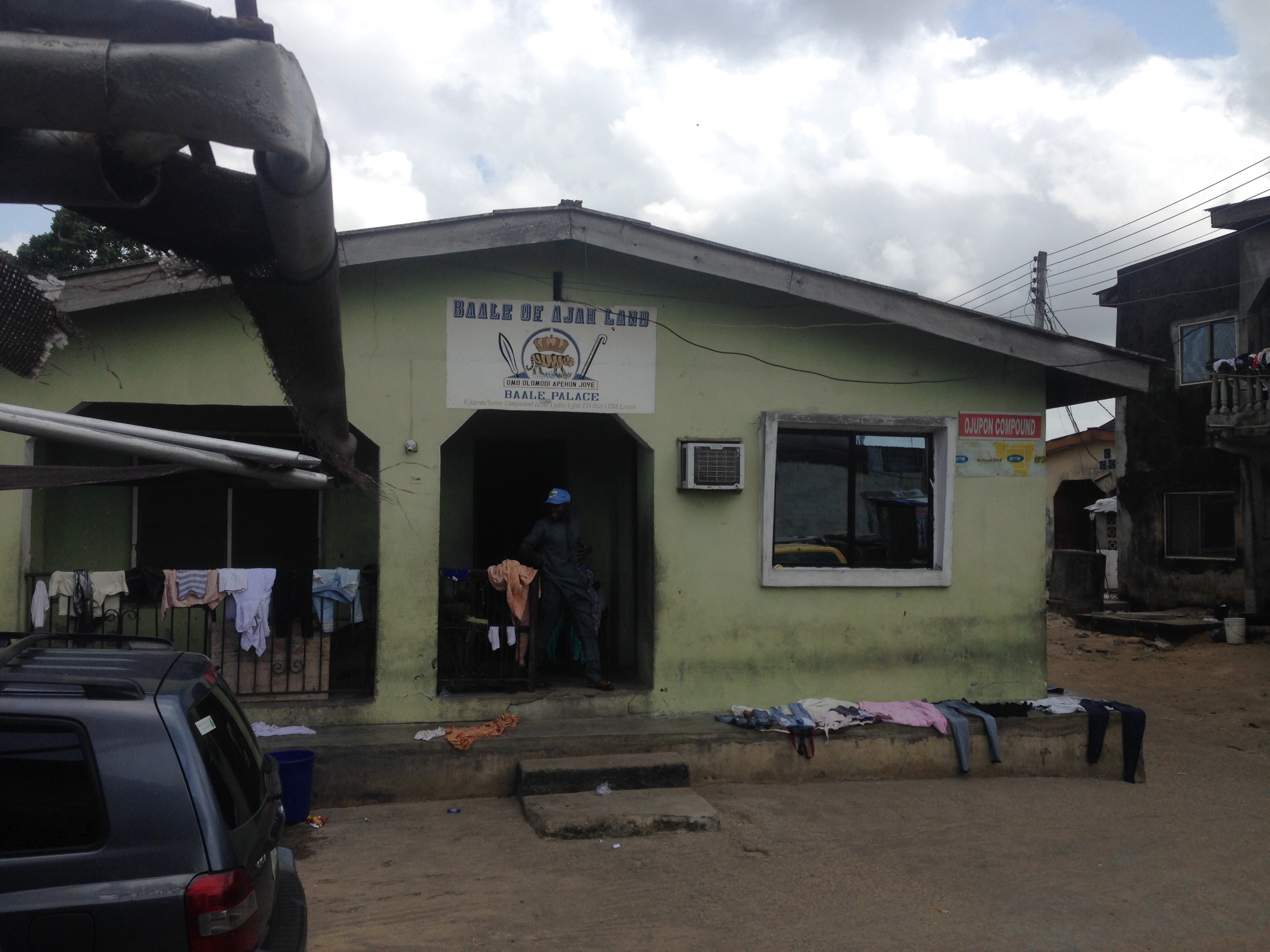

Today I met Chief Murisiku Alani Oseni Ojueonpo, the Baale of the town of Ajah where I am thinking to situate my site. Along with Baale I met with 9-10 person council of his princes and local advisors, also chiefs.
Most big decisions in Nigeria are made or influenced by the traditional royal families, represented by Chiefs, Baales and Obas. Whilst there are numerous traditional or self-elected Chiefs under each regional Baale, typically one for a town, there is only a small number of regional Obas with several Baales under each Oba. Chief Murisiku is soon expected to become the regional Oba.
My notes below are based on my conversation with the Chiefs.
Location of Ajah
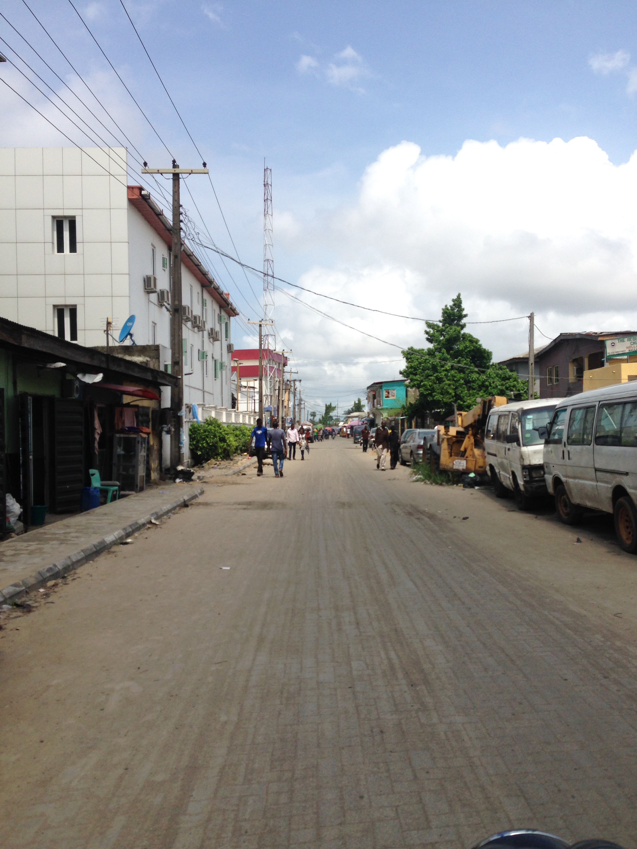
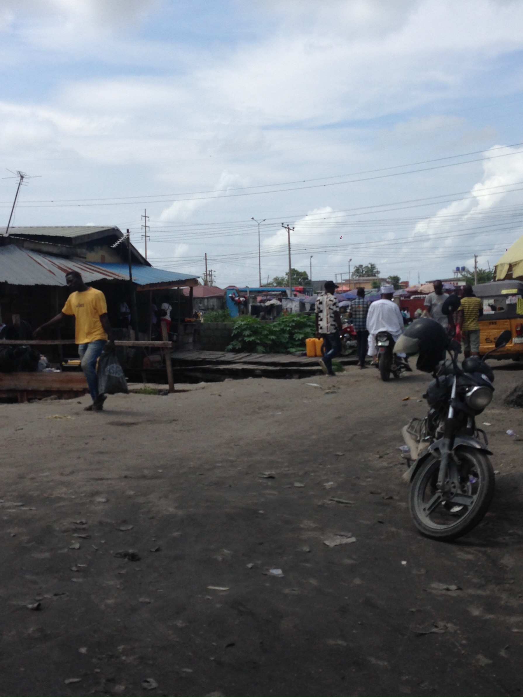
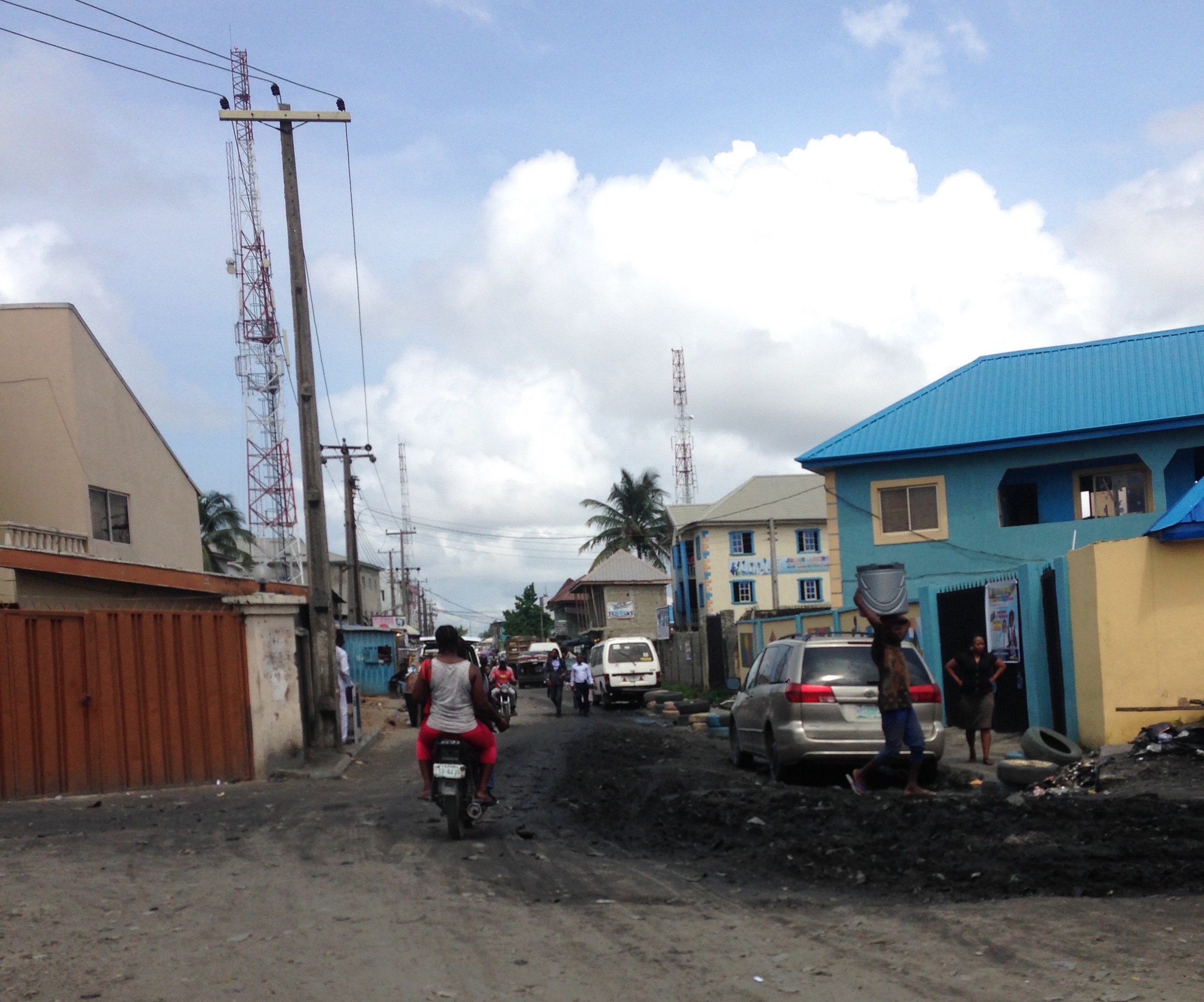
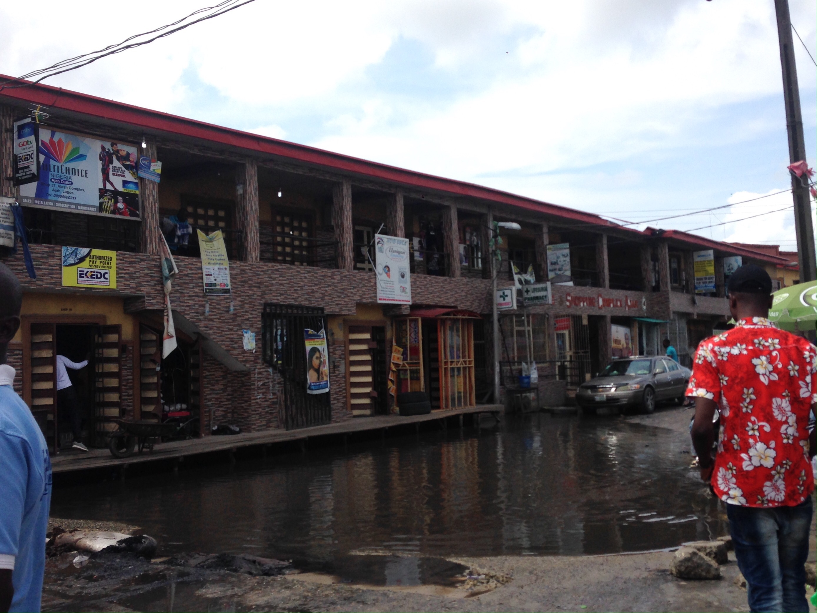
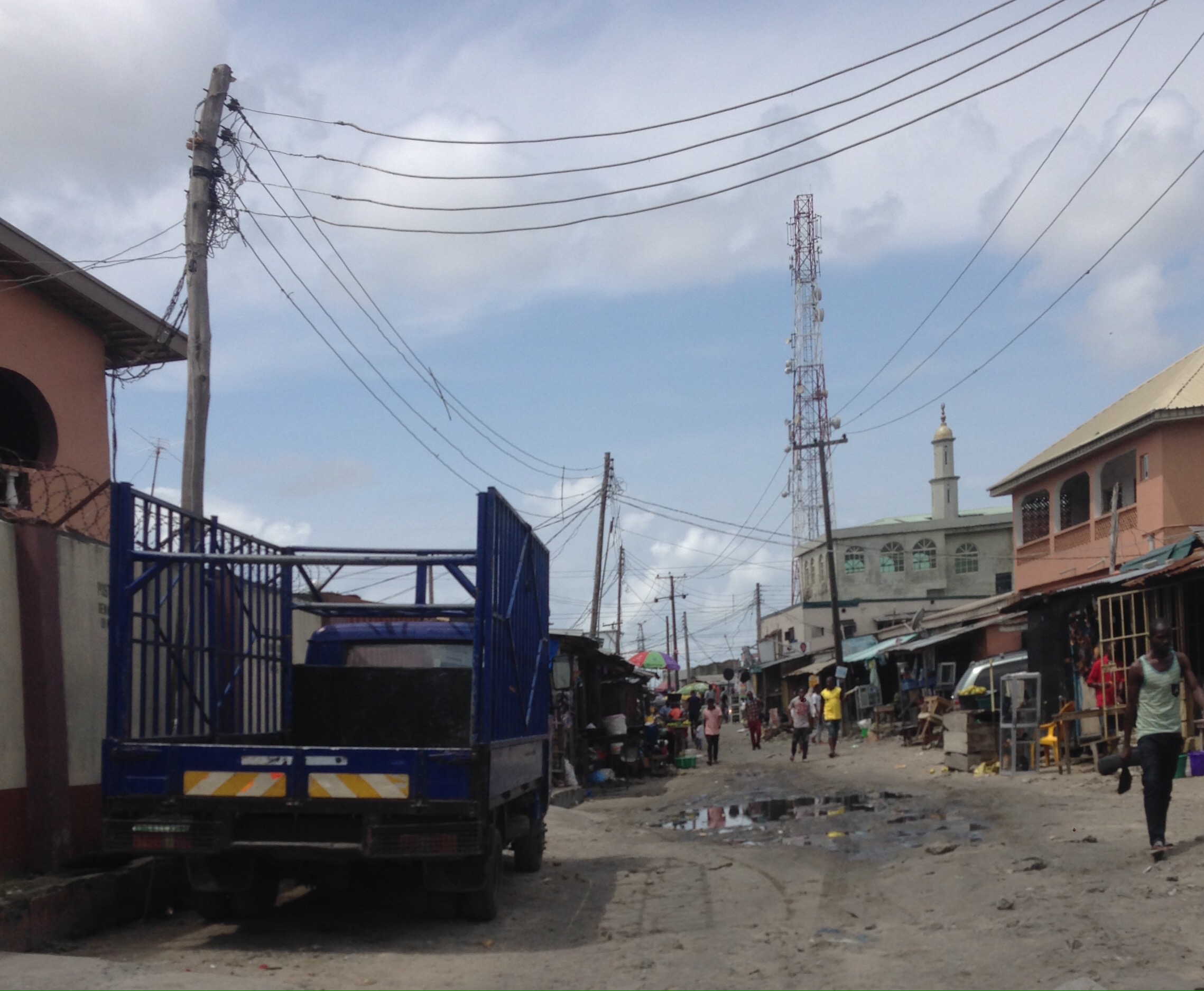
Ajah occupies a large area at the Western part of Lekki corridor and through recent research activity I have identified it as a potential location for my design. Ajah represents an interesting location through the presence of rich and diverse social context, shaky balance between built environment, land and water (typically for Lekki) and particular political relationship with Lagos State’s proposed masterplan interventions.
It often happens that the authorities and the local governments’ view regarding extents of places is different. I attempted to represent this contrast on the map below, the most accurate way I could, based on the conversations with the Chiefs.
History of Ajah and of its families
Ajah was founded around 350 years ago by Ogunsemo and Ojupon families. British Colonial officials helped establish the city as a strategic T-Juction between Lagos, the villages to the East of Lekki, and those North of Ajah, such as Addo or Langbasa.
The first Chief of Ajah, Ogunsemo Anadupo, gave parts of Ajah’s lands to 42 Chiefs’ families and 10 higher rank Chief families – 10 King Mikas. It is their successors whom I met this morning.
Over the years the town grew until becoming a major strategic point in today’s Lekki masterplan, which shows the new Fourth Manland Bridge to go through Ajah. Ajah has developed its distinct culture with festivals, masquerades and other events taking place throughout the year. Both Christianity and Islam are present, however most of the Chiefs’ council were or appeared Muslim.
Interestingly for me, unlike most of the Lekki Peninsula land, Ajah was densely inhabited for centuries, going back in time to Lagos itself was turning from a fishing village to a city during the arrival of Portuguese and beginning of slave trade in 1704.
Relationship between Ajah and the Lekki Masterplan
Until 2003 the Lagos State Government refused to acknowledge the Families’ political and land ownership roles in the area. It is only when the federal government (particularly official named Anolaja) stepped in, certain degree of authority was given to the Ajah Baale and his council. Since that time, permission for a development is first agreed with the Baale and then taken to the State Government for an approval. Chief Murisiku acknowledges that the Lagos State owns Ajah land.
Major developments
The 4th mainland bridge project, brought forward by the previous Lagos State governor, is currently on hold. The project requiring relocation of 496 households was not approved and an alternative proposal is being developed.
Extensive areas of reclaimed land (600 hectares) are proposed to be added onto the Lagoon side of Ajah. Whilst this work is yet to be agreed and commenced, much smaller reclamation project I observed during the Ajah Trip is taking place.
Implications for my design project
In order to make a sound site choice within Ajah I need to coordinate with the Baale and his council. The chiefs were sceptical about my initial site choice ideas due to their subdivided ownership and advised that they will assist me with site selection by proposing alternative sites.
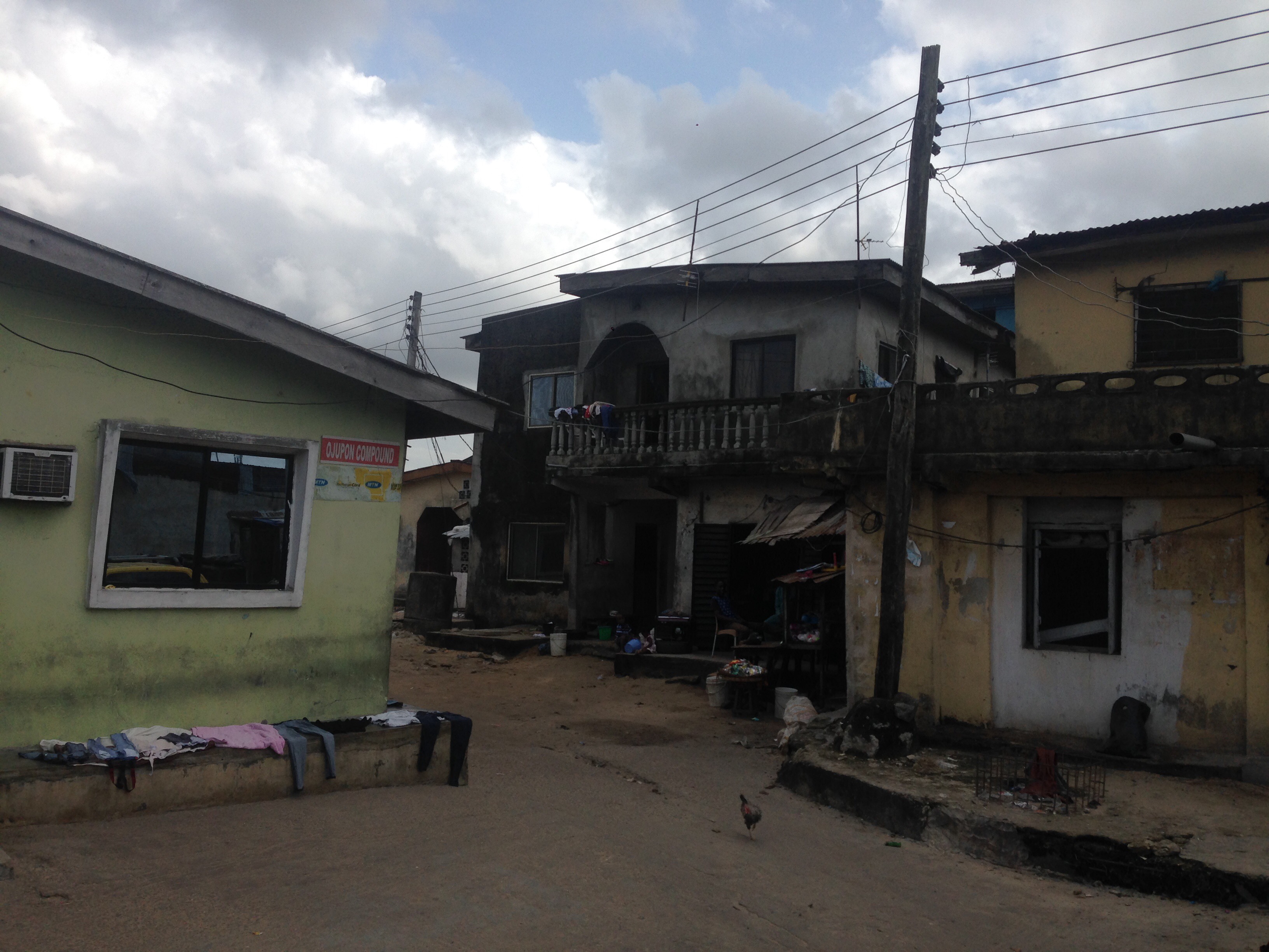
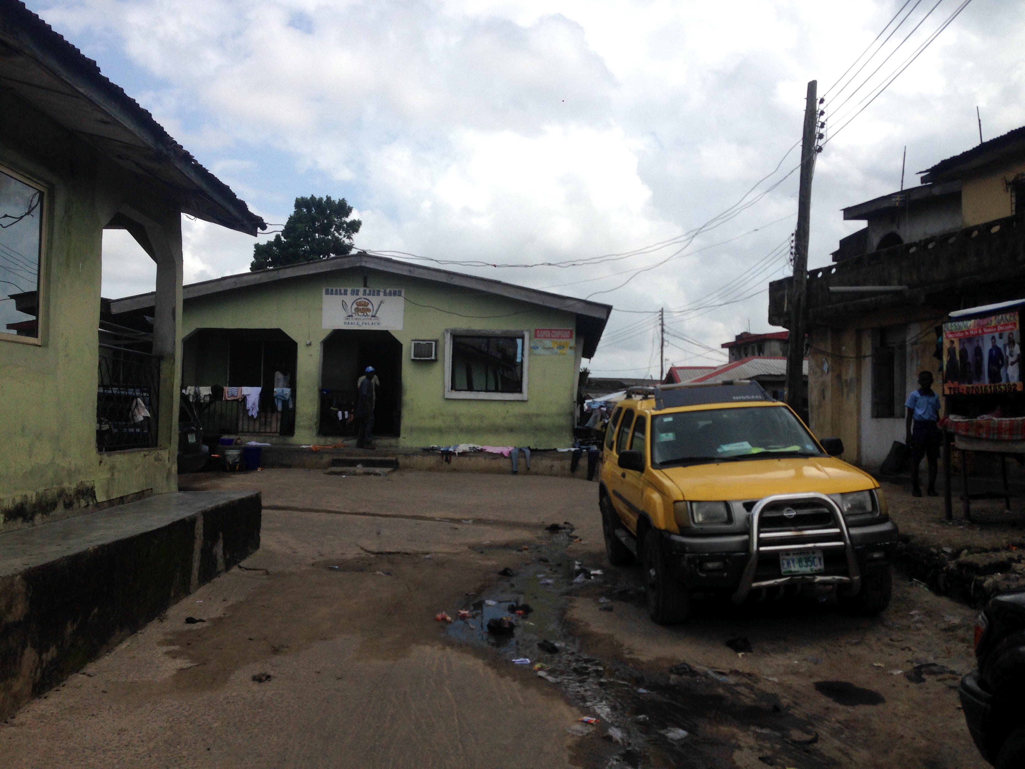
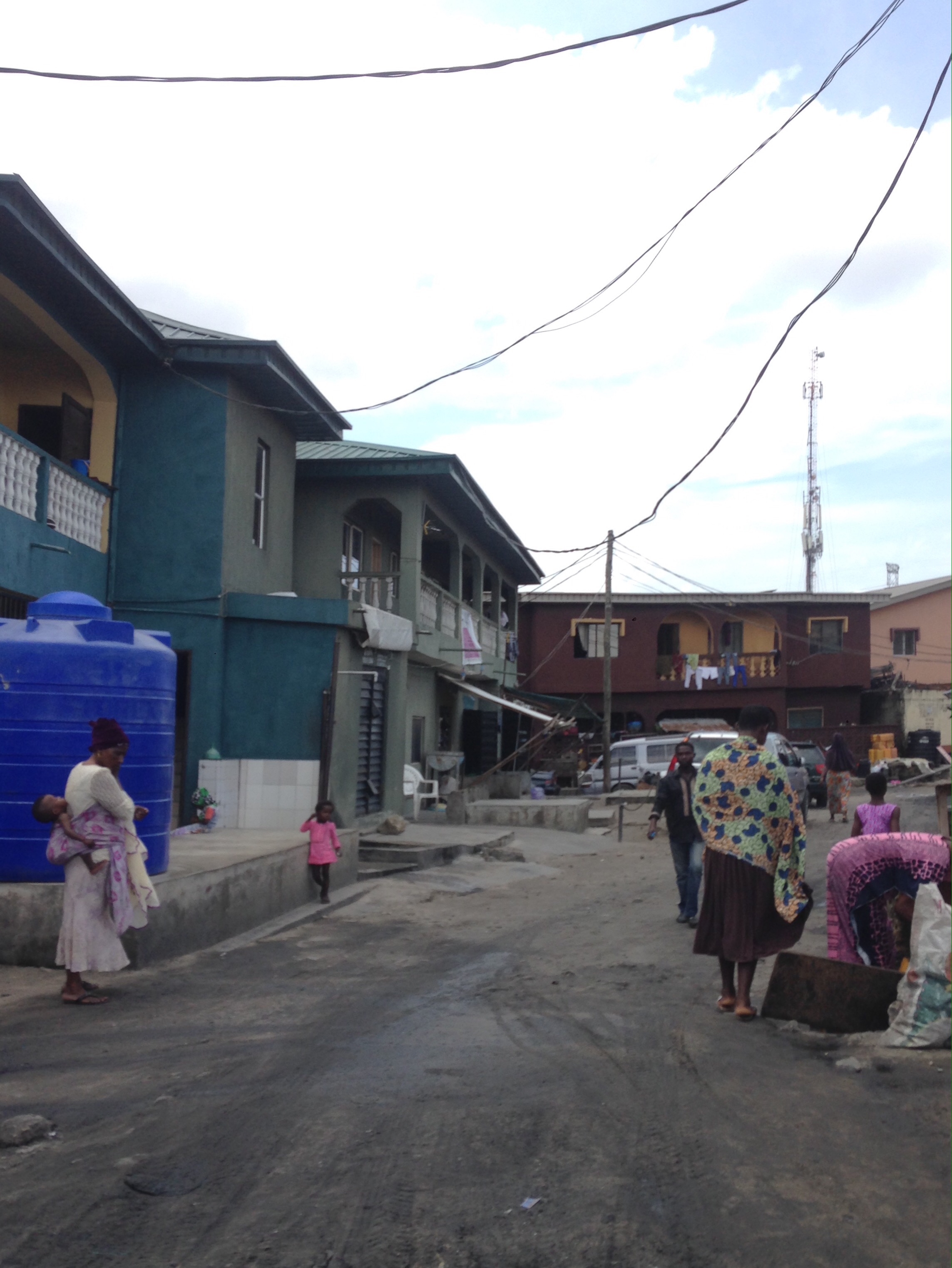
Immediately below: Baale’s palace; further below: surrounding environment and other parts of Ajah