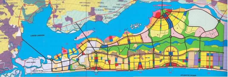
The 2008 Masterplan [ Link ] indicates a number of corridors from the central spine-motorway (Express) to the ocean with mixed use areas around them. My recent observations of Lekki reveal that there is little relationship between the masterplan and reality: the developments in the locations of the proposed mixed-us axis are predominately closed gated estates.
Most of the areas immediately besides Lekki-Epe Express (the main ‘spine’ motorway) are dedicated to commercial activities present in various forms of permanence (from groups of goat and cow traders freely standing besides the animals to air conditioned brightly coloured new shopping malls).
Behind this zone either side of the Express, there are predominately three following categories of settlement, with an increasing number of gated residential estates.
- Gated estates & areas of individual highly protected compounds shopping malls: Low to medium density
- Middle class housing & street trade, lower income commercial & office zones: Medium to high density
- Poorer areas: Very high density
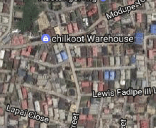
From my journeys and satelite map observation, this is the map of such areas so far
(yellow = estates, blue = middle class zones, orange = poorer areas)
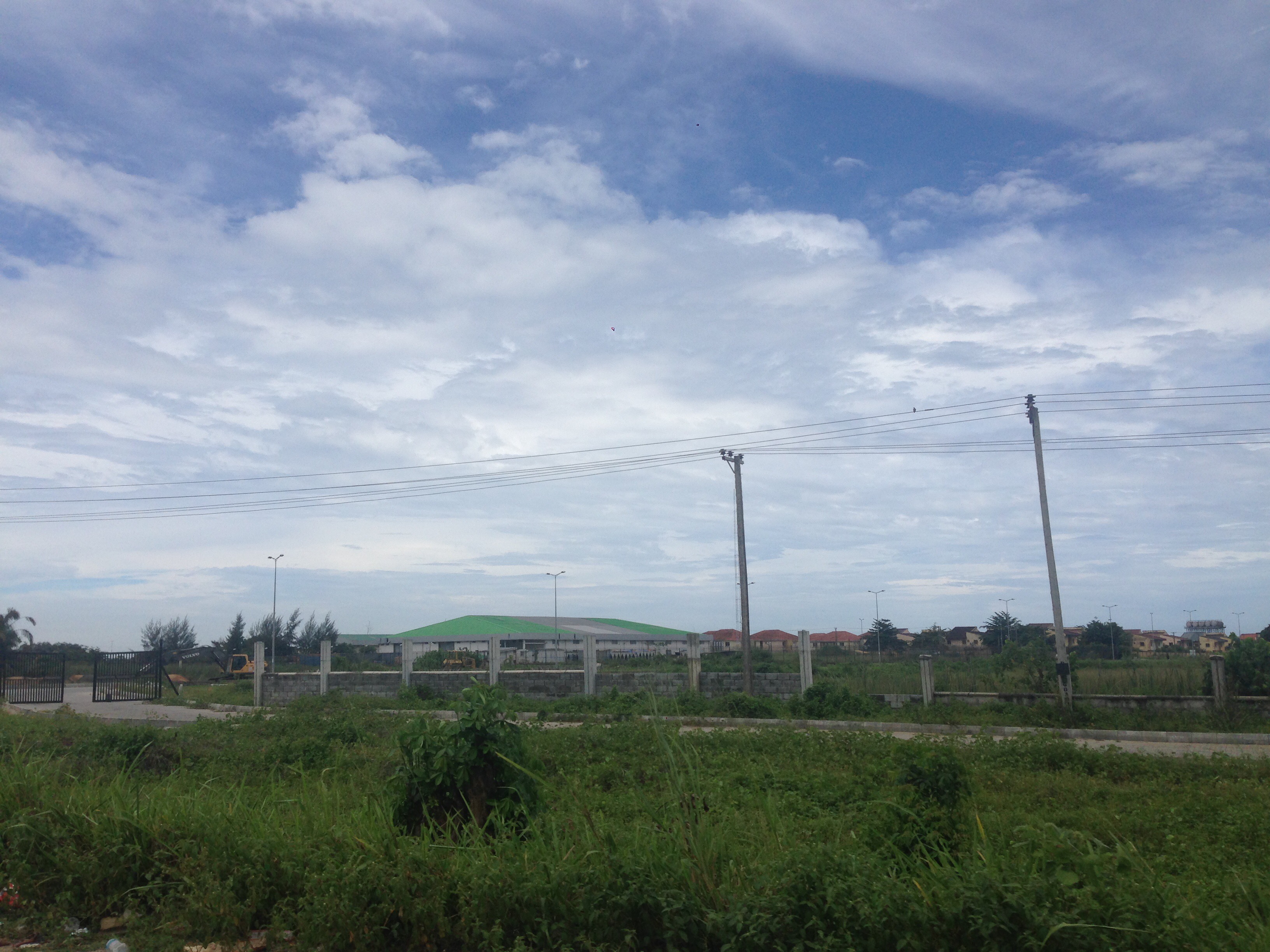
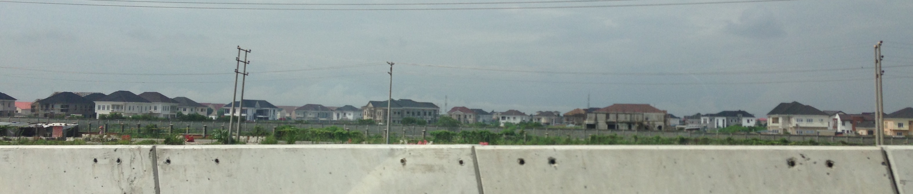
Two pointers/pins on the map indicate what looked like the potential masterplan nodes for the proposed mixed use axis to the ocean, however going to the location proved this hypothesis wrong. Both roads lead to gated estate areas with one of them being closed off right by the Express (allowing only the residents and their guests into the area)
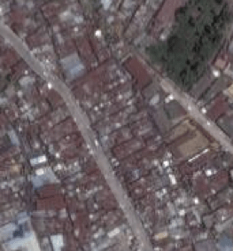
Below: images of estates found at the pointer locations